
VISplanner
With VISplanner you know where you can fish and what VISpas you need.
Sportvisserij Nederland · nl.visplanner


UpdatedJul 23, 2023
PublishedJun 18, 2021
Packagenl.visplanner
MD56b88f5671df928b4cbae27674f9b99bb
SHA1 (signer)41:58:20:DA:4F:E6:70:AD:8B:10:06:69:8F:B3:EF:6B:D1:4C:C8:0B
Signed byCN=V12, OU=V12, O=V12, L=Groningen, C=NL
Architecturesx86, x86-64, armeabi-v7a, arm64-v8a
Malware scanTRUSTED
Websitehttp://www.visplanner.nl/
Contact[email protected]
Privacy policyView
What's new
Update database
Description
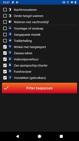
With VISplanner you immediately see on Google Maps where you and your VISpas (es) can and can not fish. There is extensive information on the water available. In addition, you can easily see where you can find useful fishing provisions in the area, such as fishing spots, boat slips, fish ponds, and tackle shops.
This app is quite bulky but this can also with slower Internet connections anywhere access information about all fishing waters in the Netherlands. You must have enough space on your smartphone to store all this information. You download like an interactive version of the paper List of Fishing Waters. The app is coupled with the VISpas legally valid written permission.
Bugs and problems we like to solve. Mail a detailed description of the problem with your phone number and the type of phone you use to [email protected].
Required features
- Faketouch android.hardware.faketouch
- Screen Portrait android.hardware.screen.portrait
Permissions (10)
VISplanner requests the following Android permissions:
- Access Coarse Location android.permission.ACCESS_COARSE_LOCATION
- Access Fine Location android.permission.ACCESS_FINE_LOCATION
- Access Network State android.permission.ACCESS_NETWORK_STATE
- Internet android.permission.INTERNET
- Wake Lock android.permission.WAKE_LOCK
- Write External Storage android.permission.WRITE_EXTERNAL_STORAGE
- C2dm Permission Receive com.google.android.c2dm.permission.RECEIVE
- Finsky Permission Bind Get Install Referrer Service com.google.android.finsky.permission.BIND_GET_INSTALL_REFERRER_SERVICE
- Providers Gsf Permission Read Gservices com.google.android.providers.gsf.permission.READ_GSERVICES
- Nl Visplanner Permission Maps Receive nl.visplanner.permission.MAPS_RECEIVE