
UpdatedOct 29, 2024
PublishedSep 10, 2019
Packagecom.infoland.civil_engineering
MD5a4d79b7c528a2ea9222eb81a5c2aed39
SHA1 (signer)3A:0C:E8:13:1E:8D:19:81:9C:A1:14:51:54:4B:C9:83:72:7C:85:9B
Signed byCN=chaimob
Malware scanTRUSTED
Contact[email protected]
Privacy policyView
Description
It is designed for learn to basics of civil engineering. it almost cover topics of civil engineering which are given below
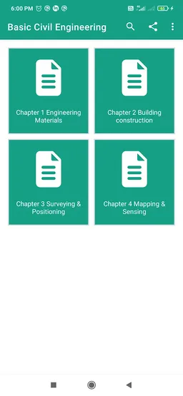
Chapter 1 Engineering Materials
1. Stones
2. Bricks
3. Cement
4. Lime
5. Timber
6. Timber Testing
7. Concrete
8. concrete testing
Chapter 2 Building construction
1. Elements of Building Construction
2. Foundations conventional spread footings
3. RCC footings
4. brick masonry walls
5. POINTING AND PLASTERING
6. floors and their types
7. Roofs
8. Doors and Window
9. lintels
Chapter 3 Surveying & Positioning
1. Surveying
2. surveying instrument
3. Leveling
4. thedolites
5. plane tables procedure
6. Electronic surveying instruments
7. TOPOGRAPHICAL SURVEYS - DIRECT LEVELLING
8. Making topographical radiating surveys
9. Making topographical surveys with non-sighting levels
10. Longitudinal profile levelling by traversing
11. contour
12. Reciprocal leveling
Chapter 4 Mapping & Sensing
1. maps details and contour
2. Prismatic compass survey
3. Dumpy level
4. measurement of areas
5. measurement of areas
6. Using a base line to subdivide land areas
Required features
- Faketouch android.hardware.faketouch
Permissions (3)
Basic Civil Engineering requests the following Android permissions:
- Access Network State android.permission.ACCESS_NETWORK_STATE
- Internet android.permission.INTERNET
- Wake Lock android.permission.WAKE_LOCK